15 degrees Longitude East
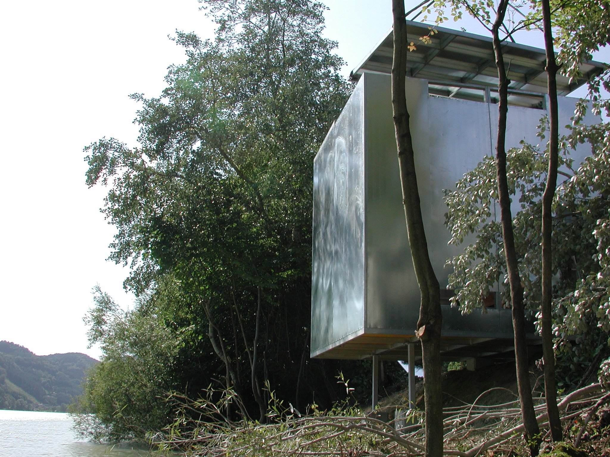
15 Degree Longitude East 2001-2011, Austria & Czech RepublicIn the 18th Century, John Harrison solved the biggest navigational problem in history with the calculation oflongitude.With the project “15 Degree Longitude East”, my intention was to visualize the imaginary line called longitudethrough architectural intervention. With the help of a GPS (global positioning system) did I pinpoint the exactlocation of the middle European time zone (EMZ) in Austria and the Czech Republic. The installation consisted oftwo zinc-plated steel cubes (13’x13’x13’) that were each split in half, visualizing the longitude line through the tinyslit in the cube.


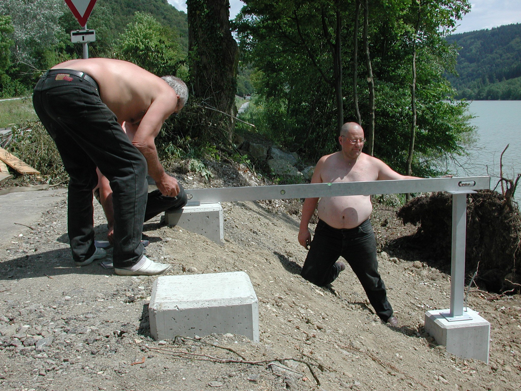
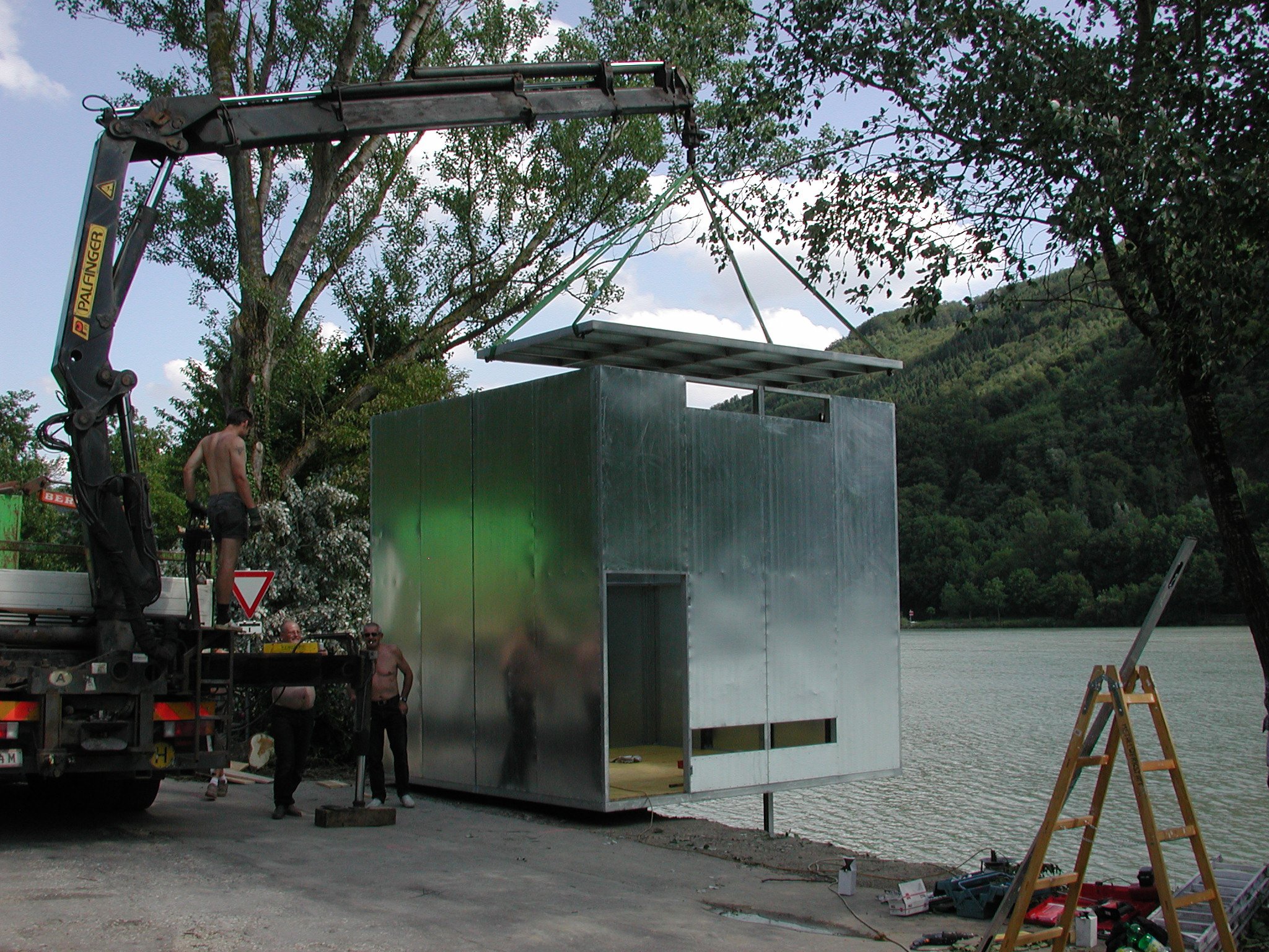
15 Degrees Longitude East construction process